Hiking
Kamakura hiking trails: Daibutsu, Ten-en and Gionyama
This page contains affiliate links. Booking through them costs you nothing extra and supports the site. Details.
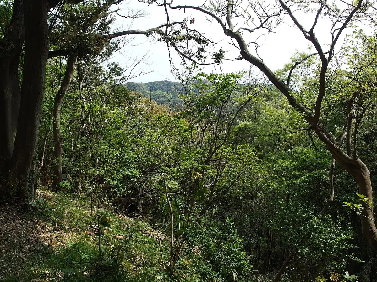
Table of contents
- Kamakura’s hiking courses at a glance
- Daibutsu hiking course (Kuzuharaoka-Daibutsu)
- Ten-en hiking course (Kamakura Alps)
- Gionyama hiking course
- Kinubari-yama and the closed Shakado tunnel
- Asaina Kiridoshi
- Shoes, rain and seasons
- Getting there and what a hiking day costs
- A full day with a hike
- Guided hikes in Kamakura
Kamakura has three official hiking courses through the wooded hills that ring the old capital: the Daibutsu course (about 3 km, about 90 minutes, Kita-Kamakura to the Great Buddha), the Ten-en course (about 5.5 km along the ridge often called the Kamakura Alps) and the short Gionyama course (about 1.5 km) behind Kamakura Station. Add Asaina Kiridoshi, a road cut through the hills in the 1240s, and you have a full day of trails without leaving town. All three courses are open in November 2026. The one decision on each is which end to start from, and that depends on temple hours and where you want lunch.
Kamakura’s hiking courses at a glance
| Course | Length | Walking time | Start and finish | Status (Nov 2026) |
|---|---|---|---|---|
| Daibutsu (Kuzuharaoka-Daibutsu) | about 3 km | about 1 h 30 min | Kita-Kamakura Station to Kotoku-in and Hase Station | open |
| Ten-en (Kamakura Alps) | about 5.5 km | about 1 h 30 min, Hansobo to Zuisenji entrance | Kenchoji (Hansobo) to Zuisenji or Kamakura-gu | open |
| Gionyama | about 1.5 km | about 30 min | Harakiri Yagura to Yakumo Shrine, both near Kamakura Station | open |
| Asaina Kiridoshi | cut road | about 40 to 50 min | Juniso (Kamakura) to Asahina (Yokohama) | open, walkers only |
| Kinubari-yama | no official course | not published | side paths south of Hokokuji | Shakado tunnel closed |
Lengths and times for the three courses are the ones the Kamakura City Tourist Association publishes; the Ten-en time is the sum of its published section times. Heights marked “about” are ground elevations at that point, not figures from a sign on the trail.
The courses are busy. The city counted 395,412 visits on the Ten-en course alone in 2025, so on autumn weekends start before 9:00 or pick a weekday. The crowd and bloom calendar shows which dates draw the most people, and the day planner fits a hike into a full day.

Daibutsu hiking course (Kuzuharaoka-Daibutsu)
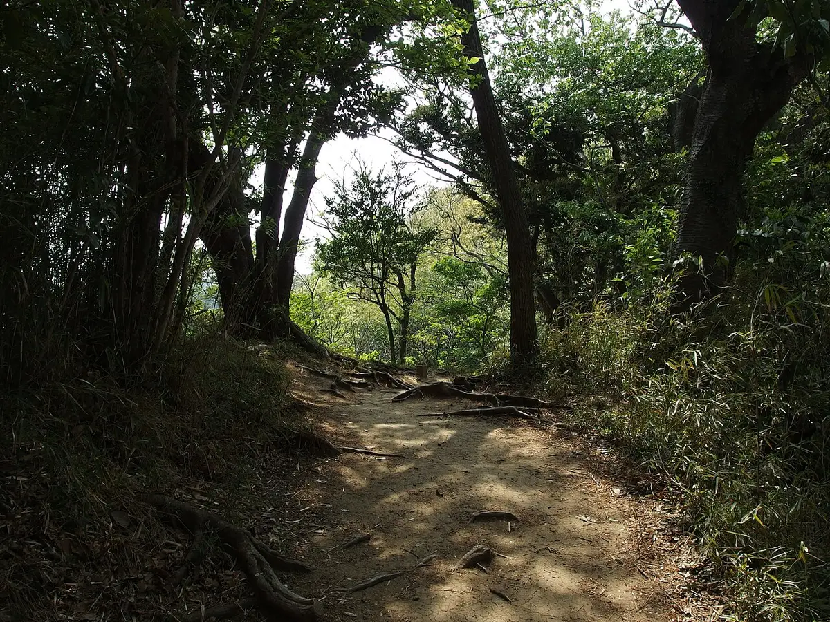
This is the trail most visitors mean by “Kamakura hiking trail”. The tourism association names it the Kuzuharaoka-Daibutsu course and rates it for beginners: about 3 km and about 1 hour 30 minutes from JR Kita-Kamakura Station via Jochiji, Kuzuharaoka Shrine and Genjiyama Park to Kotoku-in and Enoden Hase Station. Near the end a fork lets you skip the Great Buddha and drop to the Daibutsu Kiridoshi instead.
The climb is modest. Kita-Kamakura Station sits at about 21 m, Jochiji at about 39 m, Kuzuharaoka Shrine at about 85 m and the top of Genjiyama at about 93 m; the Great Buddha is at about 12 m and Hase Station at about 4 m. Starting at Kita-Kamakura you climb about 70 m to the highest ground; starting at Hase, about 90 m.

Which end to start the Daibutsu course
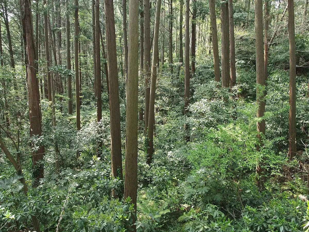
Start at Kita-Kamakura and finish at the Great Buddha. You end beside Kotoku-in, a short walk from Hasedera and four minutes by Enoden from Kamakura Station, with food on Hase’s main street. Kotoku-in closes at 17:00 from October to March and at 17:30 from April to September, so leave Kita-Kamakura by about 14:00 in winter if you want to go inside. Starting from Hase makes sense only if you have already seen the Great Buddha or want to end at Kita-Kamakura’s Zen temples, which mostly close at 16:00 to 16:30. If you are coming from Tokyo, Kita-Kamakura is on the same JR Yokosuka Line, 53 minutes from Tokyo Station for ¥902 (JR East). The Kita-Kamakura guide covers Engakuji and Meigetsu-in, which you can see before the trail.
Jochiji
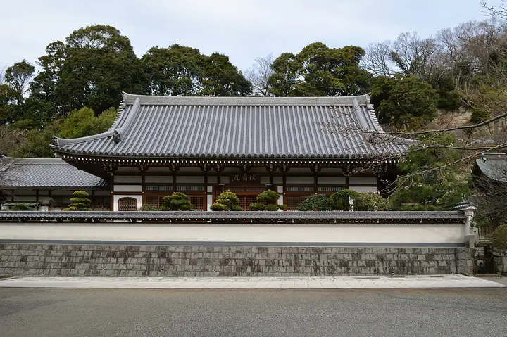
The trail starts up the lane beside Jochiji, one of the Kamakura Gozan, the five great Zen temples of the city, about 9 minutes on foot from Kita-Kamakura Station. The Kanro-no-i well at the foot of the approach is one of Kamakura’s ten historic wells, and the temple’s Hotei is one of the Seven Lucky Gods of Kamakura. Half an hour inside is enough before the climb. A private guided hike can start here.
Fee ¥300 (junior high and under ¥100)Hours 9:00-16:30From Kita-Kamakura Stn about 9 min on footMapOfficial site
Kuzuharaoka Shrine
At the top of the first climb the path reaches Kuzuharaoka Shrine, which honours the courtier Hino Toshimoto; his grave nearby is a national historic site. The shrine is known for matchmaking (en-musubi) charms. The shrine office keeps 8:30 to 16:30 hours, and there is no fee.
Fee donationOffice 8:30-16:30From Kamakura Stn 30 min walk (west exit)MapOfficial site
Genjiyama Park and Zeniarai Benzaiten
Genjiyama Park is the halfway point of the course and has public toilets. The statue of Minamoto no Yoritomo, founder of the Kamakura shogunate, stands here, and the tourism association suggests it as a lunch spot on a fine day. From the park a path drops in about 3 minutes to Zeniarai Benzaiten, the cave shrine where people wash coins in spring water, and in about 9 minutes to Sasuke Inari with its rows of torii. Both lie below the ridge, so you either climb back up or walk on to Kamakura Station by road.
Fee freeToilets yesFrom Kamakura Stn 25 min walk (west exit)MapOfficial site
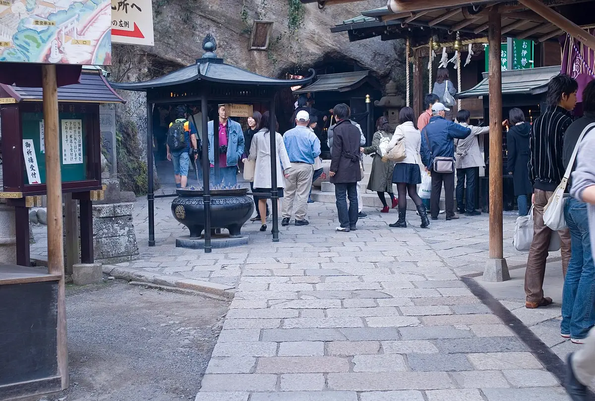

Zeniarai Benzaiten donation, 8:00-16:30 (arrive by 16:00)Sasuke Inari donationFrom Genjiyama Park about 3 min and about 9 min on footMapOfficial site
Kotoku-in, the Great Buddha at the finish
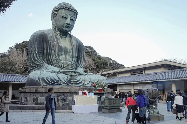
The trail comes down on the road a short walk above Kotoku-in. The bronze Buddha, begun in 1252, sits in the open air; for ¥50 more you can step inside the statue until 16:30. Eating and drinking are not allowed in the grounds, so finish your trail snacks before the gate. The Great Buddha guide has the history and the quietest hours, and Hasedera is about 5 minutes’ walk away.
Fee ¥300 (child ¥150)Inside the statue ¥50 extra, 8:00-16:30Hours 8:00-17:30 (October to March until 17:00)From Hase Stn 7 min walkMapOfficial site
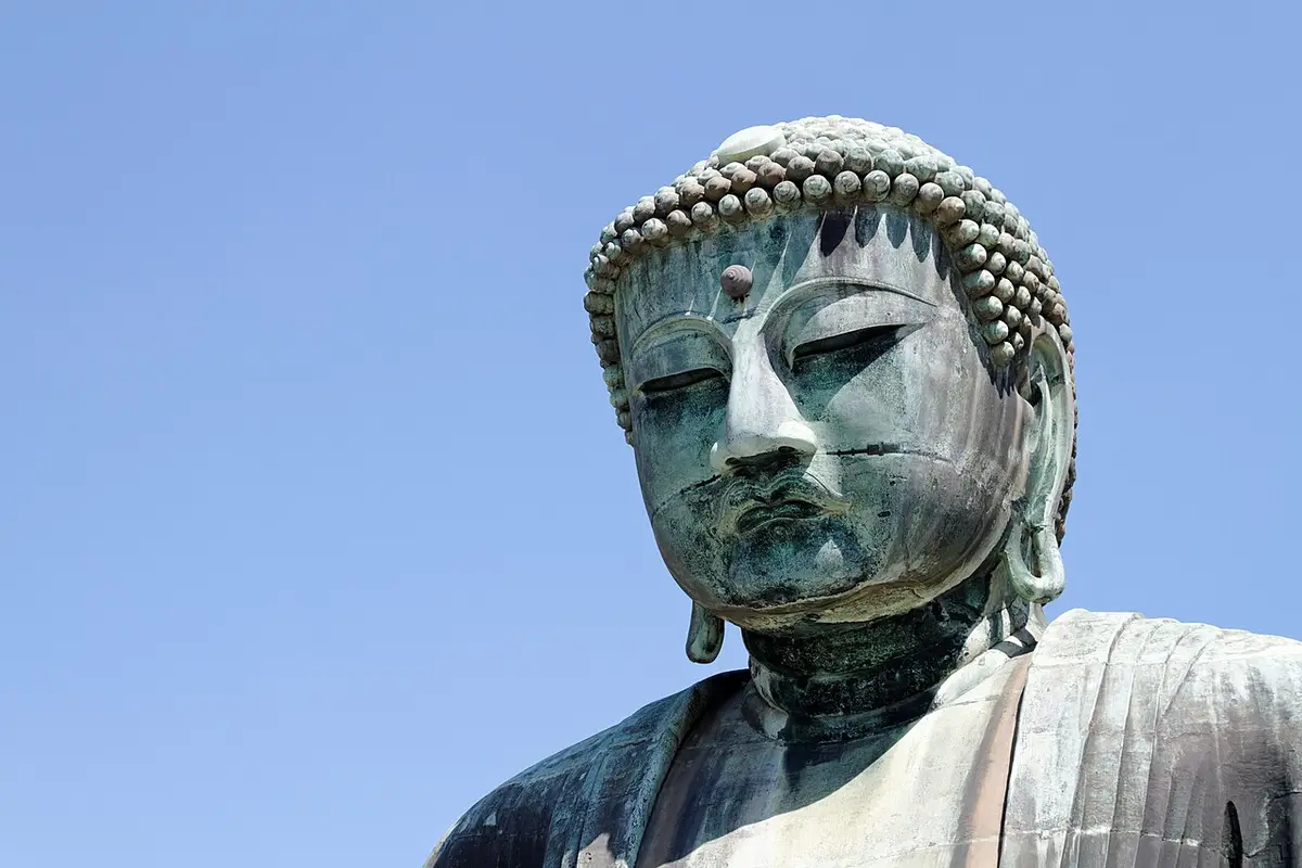

Daibutsu Kiridoshi branch
Instead of descending to the Great Buddha you can take the fork toward the Daibutsu Kiridoshi, one of the seven medieval passes cut through the hills into Kamakura. The tourism association puts it about 15 minutes from Hase Station via the hiking course; the other end reaches the Hinomishita bus stop in 3 minutes, with buses back to Kamakura Station. It suits a second visit, or a walker who saw the Great Buddha earlier in the day.
Fee freeFrom Hase Stn about 15 min via the hiking courseBus Hinomishita stop, 3 min walkMapOfficial site
Ten-en hiking course (Kamakura Alps)
The Ten-en course follows the horseshoe of hills along Kamakura’s northeastern edge. The tourism association’s map gives it as about 5.5 km, and its published section times add up to about 90 minutes between the Hansobo entrance behind Kenchoji and the Zuisenji entrance: 10 minutes to Katsugami-ken, 5 to Juo-iwa, 25 to Ohirayama, 15 to Ten-en, 15 to Kaibuki Jizo and 20 down to Zuisenji. From Kita-Kamakura Station, add 15 minutes to Kenchoji and 20 minutes through the temple to Hansobo.
This is the longest and highest of the three courses. Ohirayama is 159.2 m and Tendaisan 141.4 m on the association’s map; Juo-iwa sits at about 142 m, Zuisenji at about 54 m and Kita-Kamakura Station at about 21 m. The tourism association warns of slippery and steep places on all its courses, and this course has the most of them. From Kita-Kamakura Station the walking time alone adds up to about 2 hours 5 minutes by the published times (15 + 20 + 90), before any temple visits.
Which end to start the Ten-en course
Start at Kita-Kamakura if you want Kenchoji. The Hansobo entrance is inside its grounds, so you pay the ¥500 admission (hikers too, the tourism association notes) and must pass before the temple closes at 16:30. You do most of the climbing first, then descend gently to Zuisenji and walk or ride the bus back. Start from the Zuisenji or Kakuonji side if you set off after lunch: both are 10 to 15 minutes’ walk from the Daitonomiya bus terminus, and you finish at Kita-Kamakura Station with the JR line home. A third option skips Kenchoji: the Imaizumidai entrance, 40 minutes’ walk from Kita-Kamakura Station.
Kenchoji and Hansobo
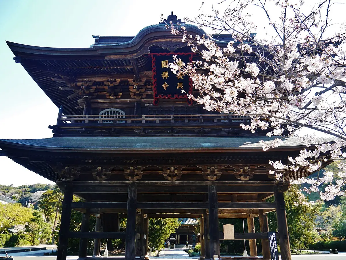
Kenchoji is the first of the Kamakura Gozan. The regent Hojo Tokiyori founded it in 1253 with the Chinese monk Lanxi Daolong as Japan’s first monastery devoted to Zen training, and its bell of 1255 is a national treasure. Hansobo, at the very back of the grounds, is where the Ten-en course begins. Give the temple an hour before the climb: the Sanmon gate, the Buddha hall and the garden are all designated cultural properties, and kenchin-jiru, the vegetable and tofu soup, is said to have started here.
Fee ¥500 (child ¥200), also for hikersHours 8:30-16:30From Kita-Kamakura Stn about 15 min walkMapOfficial site
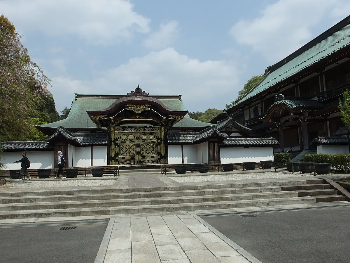

Juo-iwa
Juo-iwa, the Ten Kings Rock, is the viewpoint the tourism association marks on its course map, looking south over the town toward the sea. It sits about 15 minutes from the Hansobo entrance by the published section times, at about 142 m, and it is the place to take your photos and a break before the long middle section. A Kamakura hike with a licensed guide can be tailored to include it.
Fee freeFrom Hansobo entrance about 15 min (10 + 5)Height about 142 mMapOfficial site
Ohirayama and Ten-en
Ohirayama, at 159.2 m on the association’s map, is the high point of the ridge, about 25 minutes past Juo-iwa. Fifteen minutes on, Ten-en is the junction where the paths split toward Kaibuki Jizo, Zuisenji and Kamakura-gu; Tendaisan (141.4 m) rises just to the south.
Fee freeFrom Juo-iwa about 25 minOhirayama 159.2 mMapOfficial site
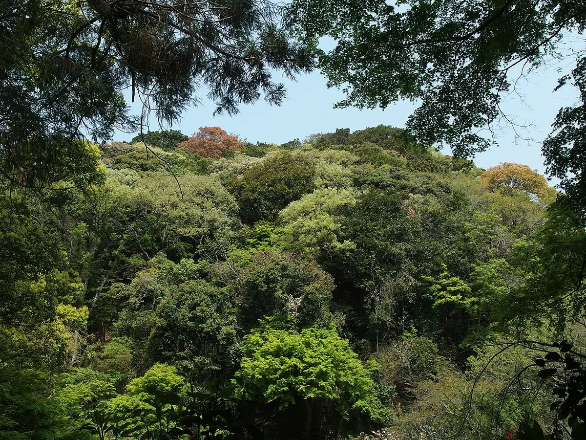

Zuisenji
Zuisenji sits at the head of a valley below the eastern trailhead. The rock garden behind the main hall was laid out by the Zen master Muso Soseki, and in winter the temple is known for daffodils and plum. It is the natural place to rest after the descent. From here, walk to the Daitonomiya bus terminus (about 10 minutes) or on to Kamakura Station, about 39 minutes on foot.
Fee ¥200 (child ¥100)Hours 9:00-17:00 (entry until 16:30)Bus Daitonomiya, 10 min walkMapOfficial site
Kamakura-gu and the Kakuonji exit
Kamakura-gu, at the Daitonomiya bus terminus, is the nearest bus stop to the eastern half of the trail and the start of the 15-minute ride back to Kamakura Station. The shrine honours Prince Morinaga (Daito-no-miya), and its yakuwari stone, where you throw a small clay plate to break bad luck, is a popular stop. Hokokuji’s bamboo garden is about 16 minutes on foot from here, a fine way to end a hiking day (see the Hokokuji guide).
Grounds free; treasure hall ¥300 (elementary ¥150)Bus Daitonomiya stop, 1 min walkTo Kamakura Stn Keikyu bus, about 15 minMapOfficial site
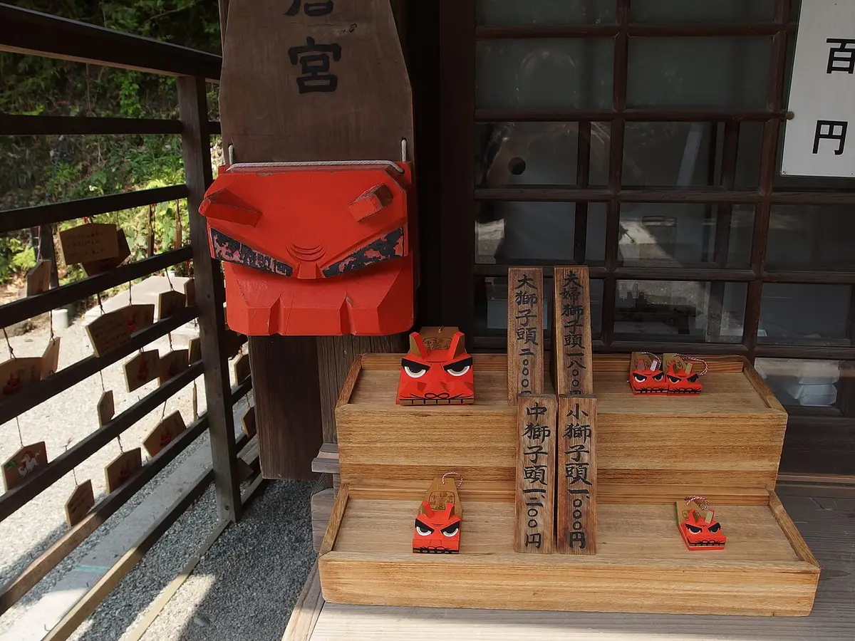

Gionyama hiking course
Gionyama is the shortest course, about 1.5 km on a wooded spur east of Kamakura Station, and the easiest to fit between other sights. Typhoons No. 15 and 19 in 2019 brought down trees and caused landslides, and the course stayed closed until April 1, 2023. The tourism association still warns of rockfall near the Toshoji ruins, so take care on that stretch. The viewpoint near the top, Gionyama Miharashidai, sits at about 59 m, against about 6 m at Kamakura Station.
Which end to start Gionyama
The published times favour starting at the Harakiri Yagura end (20 minutes on foot from Kamakura Station): 25 minutes up to Gionyama, then 5 minutes down to the Yakumo Shrine end, which is 15 minutes from the station. Doing it this way you climb the longer side and descend the short, steep one. It pairs well with Tsurugaoka Hachimangu and Komachi-dori in the same morning (see the Tsurugaoka Hachimangu guide).
Toshoji ruins and Harakiri Yagura
The northern trailhead is beside the ruins of Toshoji, the Hojo family temple, and the cave tomb that the tourism association’s map labels Takatoki Harakiri Yagura, after Hojo Takatoki, the last regent of the Kamakura shogunate. It is a memorial site, so keep voices low.
Fee freeFrom Kamakura Stn 20 min walk (east exit)Note rockfall warning near the ruinsMapOfficial site
Yakumo Shrine (Omachi)
The southern trailhead is behind Yakumo Shrine in Omachi, a neighbourhood shrine. From here it is 15 minutes back to Kamakura Station, according to the tourism association, or a short walk on to the temples of Omachi.
Fee freeFrom Kamakura Stn 15 min walkTo Gionyama 5 min uphillMapOfficial site
Kinubari-yama and the closed Shakado tunnel
Kinubari-yama is a hill of about 120 m south of the Hokokuji and Jomyoji area, reached by side paths that are not one of the city’s official hiking courses. Neither the city nor the tourism association publishes a length or time for it, so treat it as an extra for walkers who already know the Ten-en course. The old approach from the south through the Shakado Kiridoshi tunnel is closed, and the city asks people not to approach it; reopening is planned for fiscal 2026 or later. If you are in the area, the bamboo garden at Hokokuji is the better use of an hour.
Asaina Kiridoshi
Asaina Kiridoshi is one of the seven medieval passes into Kamakura. The regent Hojo Yasutoki had it cut in 1241 and 1242 to carry salt and goods from the port of Mutsura, and it served as a road until the 1950s. Today it is open to walkers only, with rock walls about 18 m high at the great cutting on the city boundary and the Saburo waterfall at the Kamakura end. Yokohama’s Kanazawa Ward describes it as a 40- to 50-minute walk from the Yokohama side to the Kamakura side and notes that there are no toilets. The pass sits at about 92 m.
Start from the Kamakura side: Keikyu buses from Kamakura Station East Exit stop 4 reach the Juniso-jinja stop in about 20 minutes, and the entrance at Saburo Falls is 10 minutes (about 700 m) on foot. Walk through to the Asahina bus stop on the Yokohama side (5 minutes from the path), where buses run back toward Kamakura Station or on to Kanazawa-hakkei.
Fee freeBus Juniso-jinja stop, 10 min walkWalk about 40 to 50 minToilets noneMapOfficial site
Shoes, rain and seasons
The tourism association’s advice for every course is short: these are natural mountain paths with slippery and steep places, so wear shoes made for hiking, and take extra care after rain, when the clay turns very slippery. Shoes with a grippy sole matter more than ankle height. Bicycles and motorbikes are banned on the courses, fires are not allowed, and races are not allowed either; runners are asked to slow down and give way when they pass walkers. Injuries on the trail are your own responsibility, and you take your litter home.
From summer into autumn, hornets are active; the association asks walkers not to provoke them, so keep calm and move away slowly if one circles you.
Toilets are at Genjiyama Park on the Daibutsu course and at the temples at each end (Kenchoji, Zuisenji, Kotoku-in). Asaina Kiridoshi has none. Carry water and fill up before you start; the shops are in the valleys, not on the ridges.
Seasons: the trails are most comfortable from November to March, when it is cool and outside the hornet season. The tourism association puts Kamakura’s autumn color at its peak from late November to early December; the autumn leaves guide and the calendar give the modelled dates for the year. June is hydrangea month in the valleys below the trails (see the hydrangea guide), but the paths are often wet. The best time to visit page covers weather and crowds month by month.

Getting there and what a hiking day costs
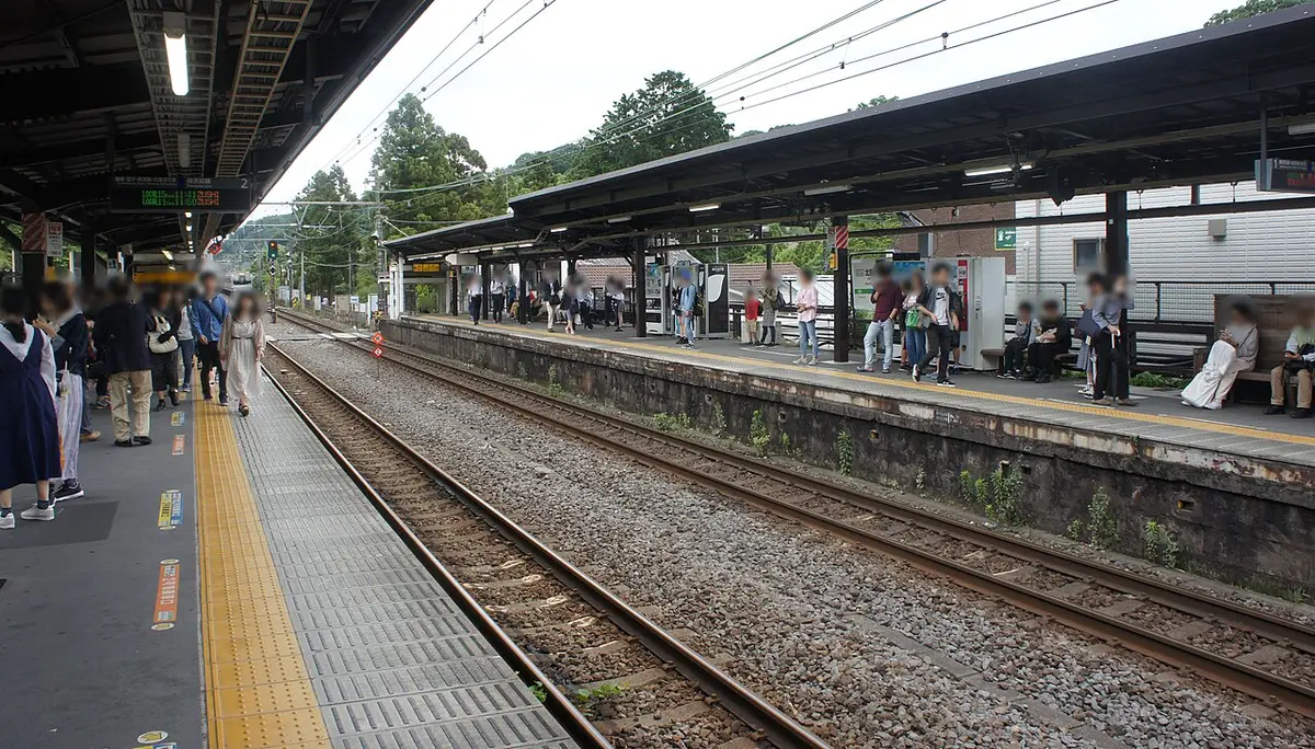
Daibutsu course: take the JR Yokosuka Line to Kita-Kamakura (53 minutes and ¥902 from Tokyo Station, or 3 minutes and ¥155 from Kamakura). From Hase at the end, the Enoden runs back to Kamakura in 4 minutes for ¥200. Ten-en course: the same JR stop for the Kenchoji end; for the eastern end, Keikyu buses from Kamakura Station East Exit stop 5 to Daitonomiya. Gionyama: walk from Kamakura Station. Asaina: Keikyu bus from stop 4 to Juniso-jinja.
If you will use two or more buses, the city’s Kamakura Free Kankyo Tegata (¥900 adult, ¥450 child) covers the Enoden between Kamakura and Hase and the Keikyu and Enoden bus routes from Kamakura Station East Exit to Kita-Kamakura, Jomyoji, Daitonomiya, Daibutsu-mae and Nagoe for one day. It is sold at the Enoden Kamakura and Hase stations and the Keikyu bus office.
Cost line: the Daibutsu course as a day trip from Tokyo comes to ¥2,736 per adult (JR to Kita-Kamakura, Jochiji, Kotoku-in, the Enoden back to Kamakura and JR home). The Ten-en course, with Kenchoji and Zuisenji and a walk back to Kamakura Station, comes to ¥2,636. Food comes on top; the trip cost calculator adds it for your group, and how to get to Kamakura compares the routes from Shinjuku, Shinagawa and Yokohama.

A full day with a hike
The trails link Kamakura’s three sightseeing areas, so a hike can replace the train between them. Two combinations work well:
- Kita-Kamakura to Hase: Engakuji at 8:30, Jochiji, the Daibutsu course, lunch in Hase, Kotoku-in and Hasedera. This is our full-day itinerary with the train swapped for the trail.
- Ten-en and the bamboo temple: Kenchoji at 8:30, the Ten-en course to Zuisenji, then Kamakura-gu and Hokokuji’s bamboo garden for matcha before it stops serving at 15:30.
For the rest of the town, see things to do in Kamakura, the map and our picks for where to stay if you want to be on the trail before the day-trippers arrive.

Guided hikes in Kamakura
A guide helps with route-finding at the junctions and can explain the yagura caves, passes and temples along the way. These are bookable products with what the listing includes; prices change, so check on the booking page.
Kamakura Hidden Trails day hike (GetYourGuide)
The Kamakura Hidden Trails day hike is a private hike of about six hours on the Daibutsu trail with a nationally licensed guide. The guide meets you at your hotel lobby or at the station you choose; check on the listing whether train fares and entrance fees are included in your option. It suits first-time visitors who want the trail plus the temples at each end, explained, at their own pace. Book the same product on Viator if you keep your bookings there.
Kamakura 6-hour hike tour (Klook)
The Kamakura 6-hour hike tour is a private, personalised day with a government-licensed guide on the Daibutsu trail, with the Great Buddha and Hokokuji named in the listing. Hiking shoes are recommended. It is the natural pick if you already use Klook for your Japan rail passes and want everything in one app.
Private tour: temples, nature and the Great Buddha (Viator)
This private walking tour covers at least 5 km on foot, including a hill pass, with Jochiji and the Great Buddha on the route. Hotel pickup costs extra. It is less of a hike and more of a guided walk, a good fit for mixed groups where not everyone wants a full trail day.
Zen temple garden tour with matcha (GetYourGuide)
The private Hokokuji bamboo valley tour is a nine-hour private day from Tokyo with Hokokuji entry and a bowl of matcha included. It is not a trail hike, but it pairs well with the Ten-en course the next day, or as the gentle half of a family trip.
Half-day private tour (Viator)
The half-day private tour gives you a licensed guide for a few hours and lets you set the route. Ask for Genjiyama and the Daibutsu course down to the Great Buddha; that fits comfortably in a morning. For full-day options from Tokyo and group tours, see our Kamakura tours comparison.
Questions people ask
How long is the Daibutsu hiking trail?
The Kamakura City Tourist Association gives the Kuzuharaoka-Daibutsu course as about 3 km and about 1 hour 30 minutes, rated for beginners. It runs from JR Kita-Kamakura Station past Jochiji, Kuzuharaoka Shrine and Genjiyama Park to the Great Buddha at Kotoku-in and Enoden Hase Station. Add time for the temples and a side trip to Zeniarai Benzaiten.
Are the Kamakura hiking trails open?
Yes. As of November 2026 the Daibutsu (Kuzuharaoka-Daibutsu), Ten-en and Gionyama courses are all open, and Asaina Kiridoshi is open to walkers. The last city closure, a fallen tree on the Ten-en course in March 2026, was cleared on March 10, 2026. The Shakado Kiridoshi tunnel stays closed. Typhoons can close sections at short notice.
What are the best hikes in Kamakura?
For a first visit, the Daibutsu course: about 3 km, about 90 minutes, and it ends at the Great Buddha. For a longer ridge walk with the highest points around Kamakura, the Ten-en course: about 5.5 km, with Ohirayama at 159.2 m. Gionyama is a 1.5 km loop near Kamakura Station, and Asaina Kiridoshi is a cut road from the 1240s.
Which end of the Ten-en trail should I start from?
Start at Kita-Kamakura if you want to visit Kenchoji, which charges ¥500 and closes at 16:30, and finish downhill at Zuisenji and Kamakura-gu with buses to Kamakura Station. Start from the Zuisenji or Kakuonji side if you begin late in the day, since the Hansobo route passes through Kenchoji's grounds.
Can you hike in Kamakura when it rains?
You can, but the tourism association warns that the trails turn muddy and especially slippery after rain, and some stretches are steep. Wear shoes with grip. In heavy rain take the Enoden or a bus between the sights instead, and check the city's notices after a typhoon before you set out.
Read next
 Kita-KamakuraZen temples from Engakuji to Kenchoji on foot.
 Kamakura itinerariesHalf day, full day and two days with Enoshima, timed leg by leg.
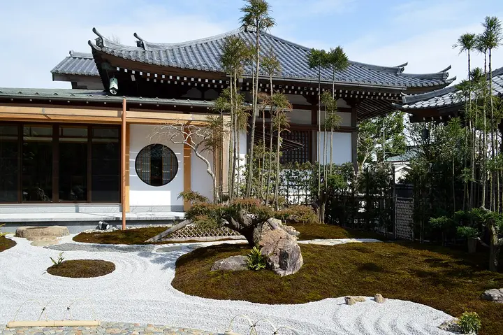 Things to do in KamakuraTemples, shrines, trails and streets with fees, hours and walking times.
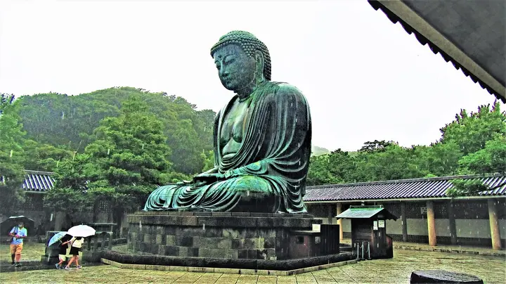 The Great BuddhaKotoku-in fee, hours and how to time your visit.
Sources (19)
- Kamakura City Tourist Association: Kuzuharaoka-Daibutsu hiking course
- Kamakura City Tourist Association: Ten-en hiking course (map, access, section times)
- Kamakura City Tourist Association: Gionyama hiking course
- Kamakura City: Ten-en hiking course partial closure (March 4, 2026)
- Kamakura City: Ten-en hiking course reopened (March 10, 2026)
- Kamakura City: press releases, November 2026
- Kamakura City: Asaina Kiridoshi historic site
- Kamakura City: Omachi Shakadoguchi site and Shakado Kiridoshi tunnel
- Yokohama City Kanazawa Ward: Shomyoji and Asaina Kiridoshi access
- Yokohama City: Asaina Kiridoshi
- Kamakura City: Kamakura Free Kankyo Tegata (bus and Enoden day pass)
- Kamakura City: tourism statistics
- Kotoku-in (official): hours and fees
- Kenchoji (official)
- Kamakura City Tourist Association: Kenchoji, Jochiji, Zuisenji, Genjiyama Park, Kuzuharaoka Shrine
- GSI elevation API (Geospatial Information Authority of Japan)
- JR East Real-Time Route Search (train times and IC fares)
- Enoden: fares between stations
- OpenStreetMap walking routes (OSRM foot profile)